
Utilizing Ground Penetrating Radar for Void Detection
Have you seen the voids that swallowed up a few vehicles in the City of Saskatoon the past few years?! With proactive planning, these voids can all easily be detected before these events happen.
In the late 1800’s, coal miners would access coal seams by either manually digging directly into coal seam exposures along the slopes of valleys and in ravines; or, by sinking an adit (horizontal or inclined corridor) or vertical shaft through the over-burden and into the coal seam. When these coal mines were abandoned, they were never reclaimed. Mine entrances were typically sealed off and the rooms and mine shafts were left open. Following the abandonment of these mines, many of these mined out areas collapsed creating subsidence and the formation of sinkholes when the collapse process advances up to the ground surface. The surface subsistence and the development of sinkholes creates major health and safety concerns and significant risks with existing infrastructure including transmission lines, flowlines, well sites and roads.
Based on these concerns, Atlas Geospatial has completed several Ground Penetrating Radar (GPR) surveys to identify buried coal mine hazards around existing infrastructure and proposed infrastructure locations. The identification of these areas is taken into consideration with both site selection and determining the safest routes to access these locations to prevent injury and damage to equipment.
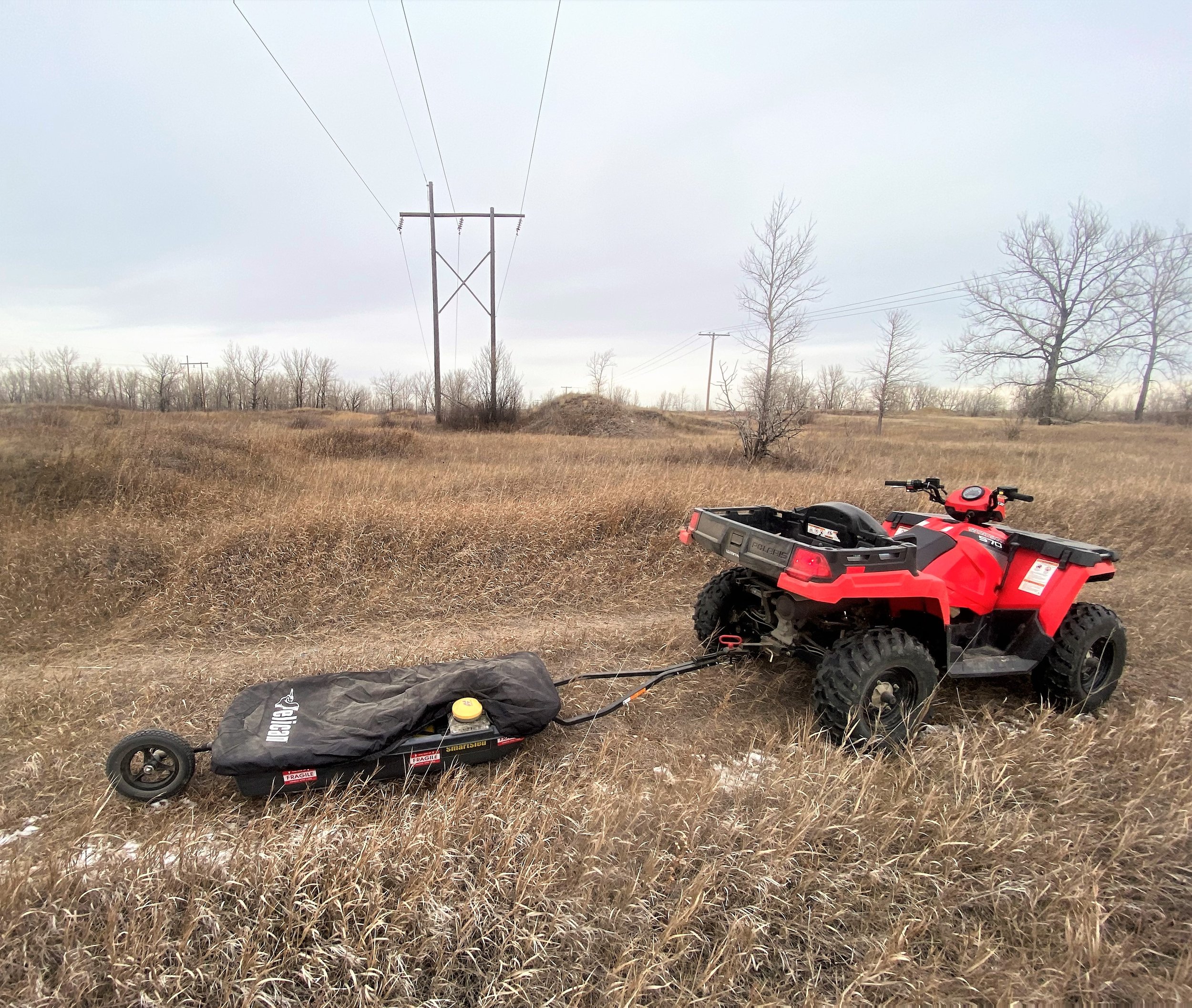
Atlas Geospatial equips their GPR antenna to a SmartCart or SmartSled which is easily towed behind a UTV for efficient and cost-effective surveys. Our GPR is equipped with a TopCon GPS receiver for the most accurate results. All collected data is then further processed through EkkoProject software. Our GPR surveys have identified several areas of concern which are discussed in our reports and illustrated on maps and .shp files produced by our GIS team. GPR surveys typically result in the identification of avoidance areas (i.e., sinkholes), while providing further clarification on safety concerns in the Project area.This same concept can be applied to roads, highways, and parking lots to prevent the sinkholes that keep appearing on the roads.
For more information about the value of using GPR to identify subsurface voids, please contact Atlas Geospatial at 306-370-9972 or email mike.markowski@atlheritage.ca.