Whether it is above ground or below ground, we can map it!
Prairie Mapping Industries is Saskatchewan’s premier Geospatial company focused on providing Mapping Services and Ground Penetrating Radar (GPR) for a wide array of Projects.
Prairie Mapping Industries joined ATL Group - a company that is committed to maintaining exceptionally high standards, delivering high quality projects on budget and on schedule - in December of 2023, after 38 years under the previous ownership.
We are committed to providing the best possible Mapping and GPR services to our clients.
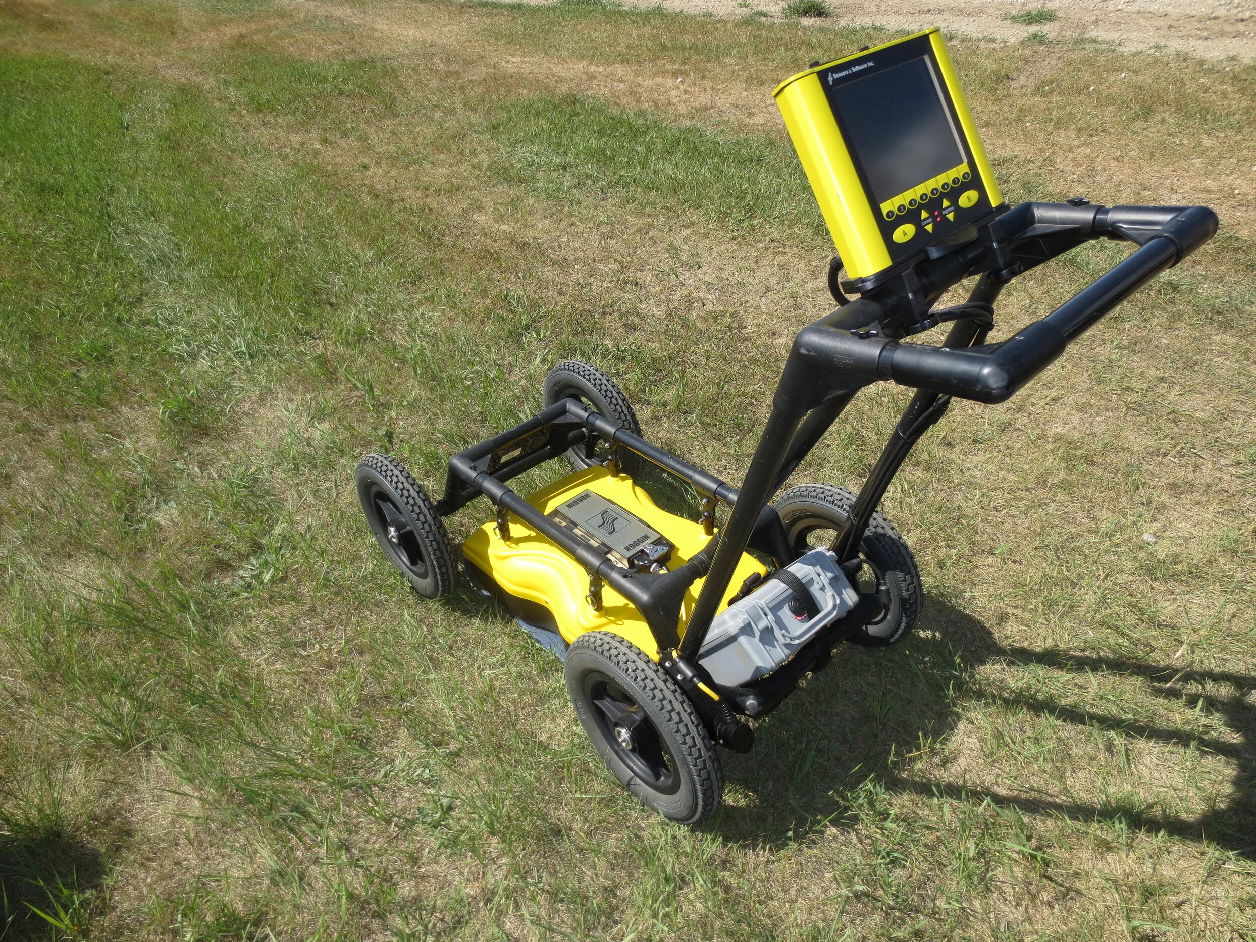
Ground Penetrating Radar
Cost-Effective
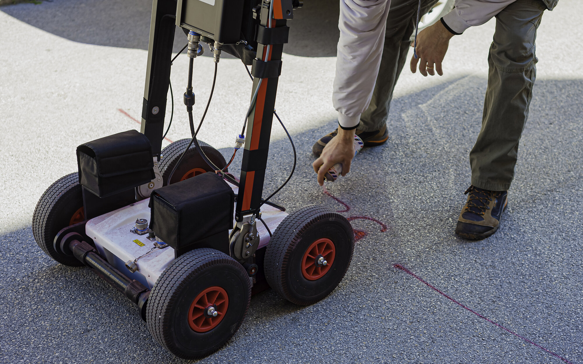
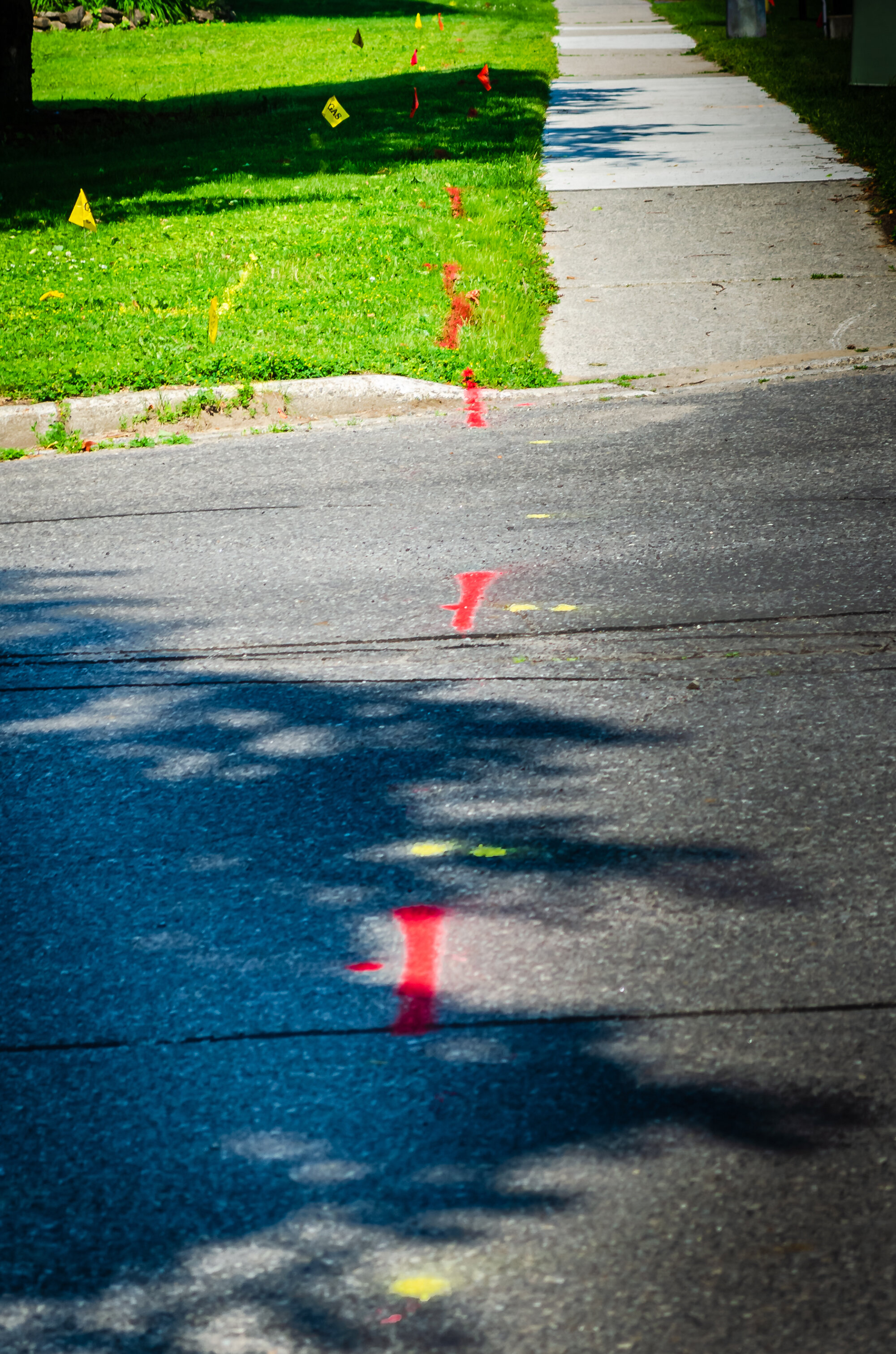
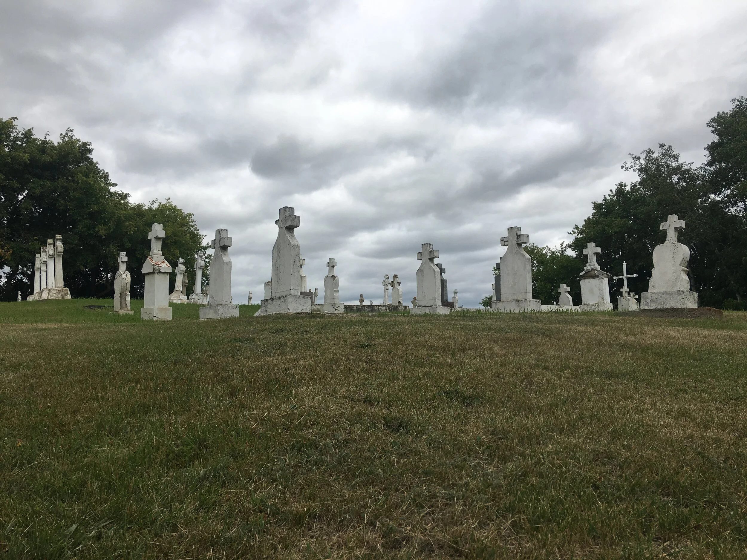
Ground Penetrating Radar (GPR) is a cost-effective method used to detect buried features in the ground. GPR surveys are quick and effective solutions to identify buried objects such as:
utilities
tanks
pipes
garbage (landfills; building sites)
contamination
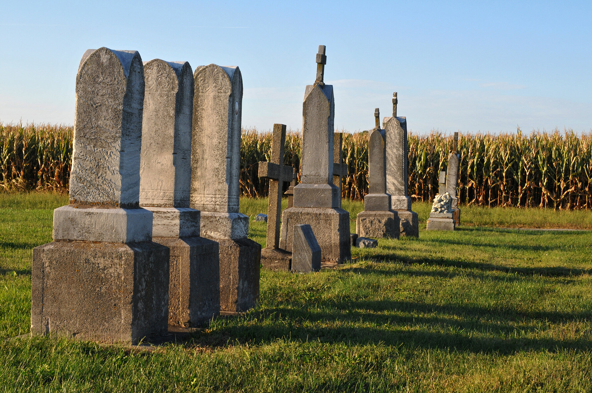
graves
Void Detection
GPR can also detect voids in:
pavement (highways, roads)
cement
Measurability
GPR also has the capacity to measure:
ice thickness (ice roads)
sediment accumulation in waterbodies (lakes, ponds)
Prairie Mapping’s team members work closely with Sensors & Software and are certified through their SensoftU courses.
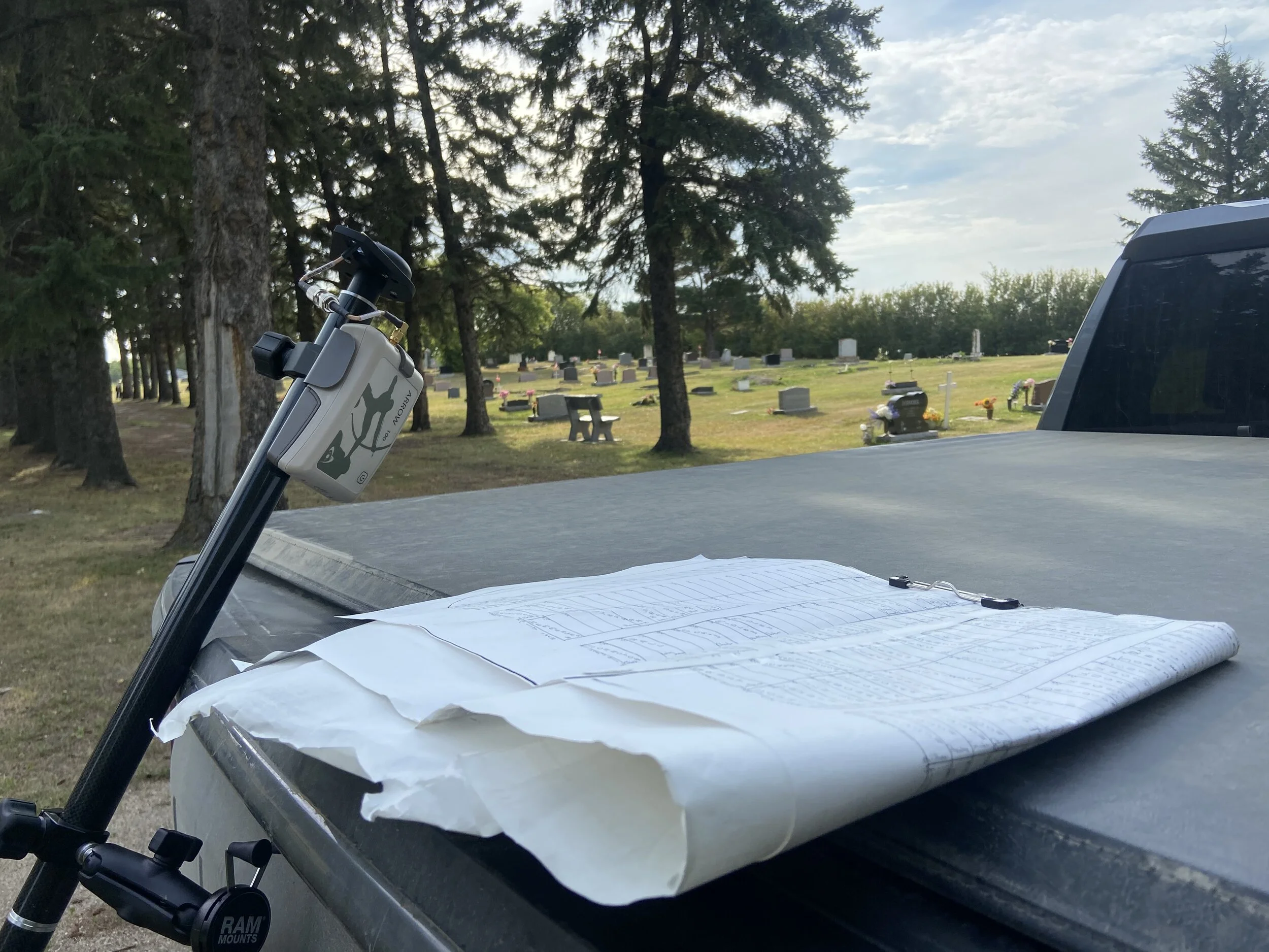
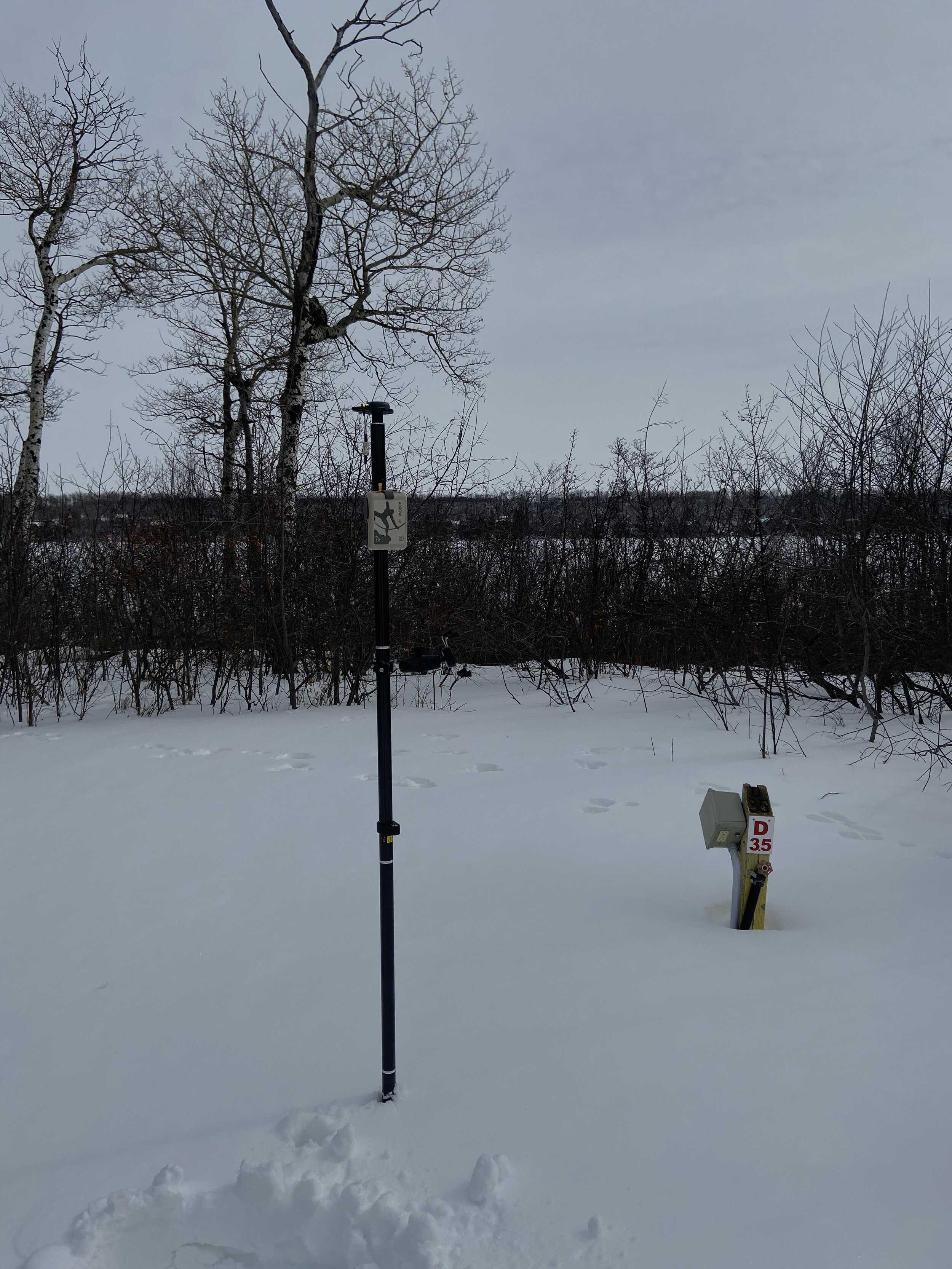
Mapping Services
Prairie Mapping Industries is excited to be able to provide our clients with professional mapping services. Using a combination of:
Geographic Information Systems (GIS)
Global Navigation Satellite System (GNSS):
Global Positioning System (GPS):
Unmanned Aerial Vehicle (UAV: drones)
Prairie Mapping Industries can provide detailed, accurate and user-friendly maps using a wide-array of formats including topographic maps, aerial imagery and satellite imagery.

Tourism Initiatives
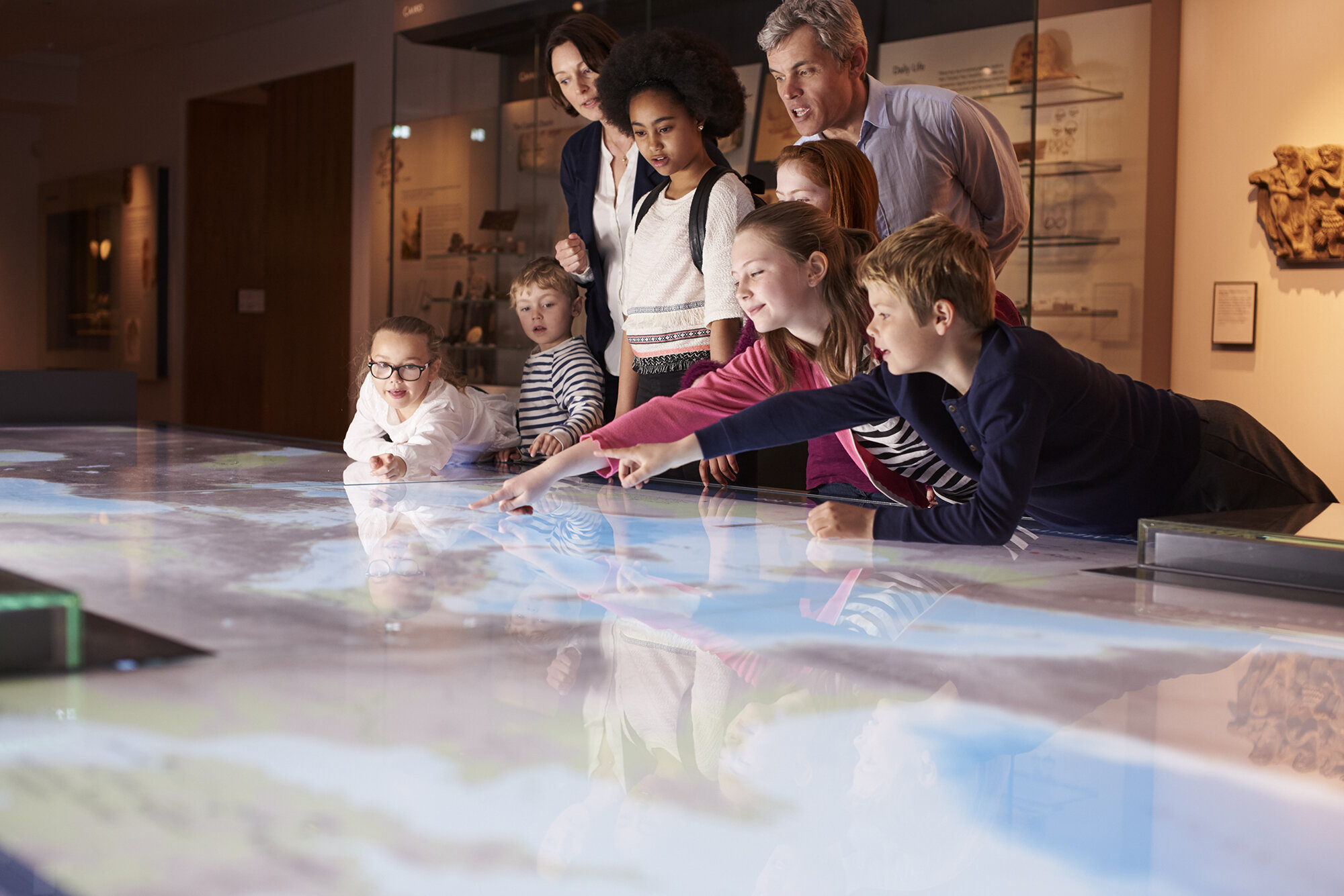
Our team at Prairie Mapping Industries is passionate about documenting and providing unique ways to interpret history by creating tourism initiatives to provide educational and learning opportunities while positively impacting local economy’s (i.e. tourism industry, local businesses). Our experience and expertise in documenting History (see www.atlheritage.ca) makes us a unique team to create interpretive mapping and signage content for tourism initiatives (i.e. trail systems). We strive for out-of-the box thinking to further promote and develop new technologies for visitors to enjoy trough digital platforms such as ArcGIS StoryMaps, QR Codes, app creation along with video and audio content to enhance the overall interpretive experience.
Learn More